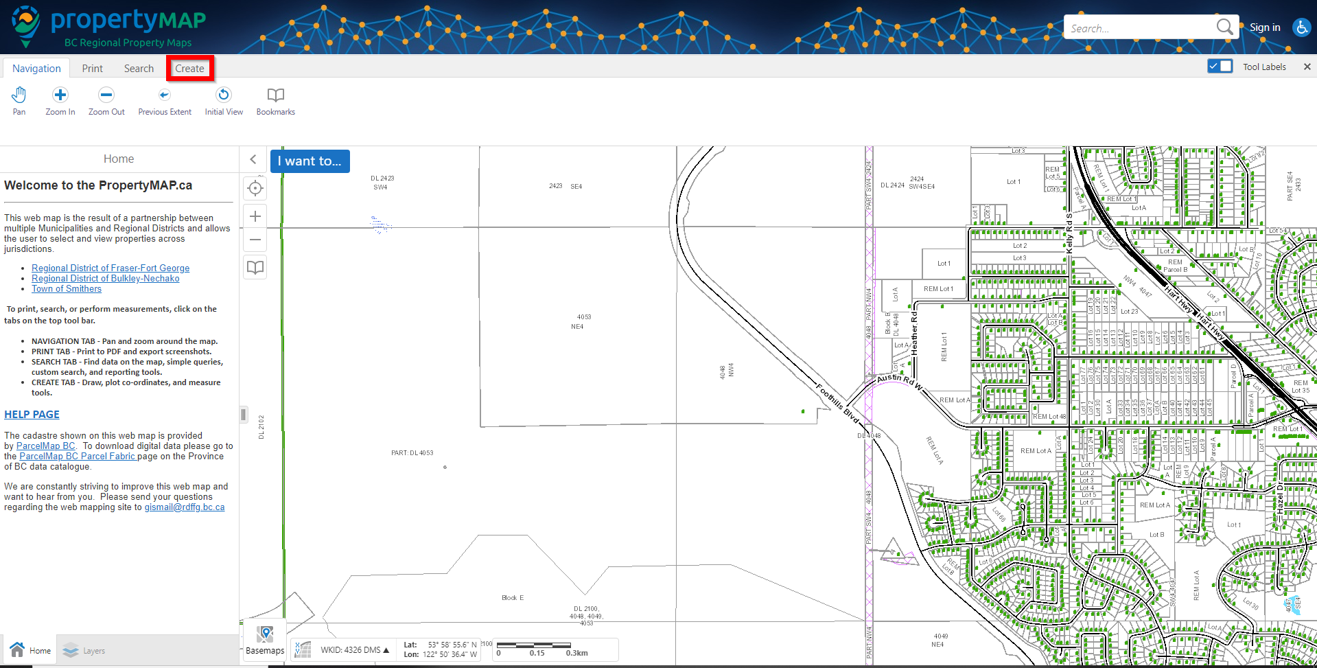
Step 1:
Navigate to the 'Create' tab at the top left hand area of the map.
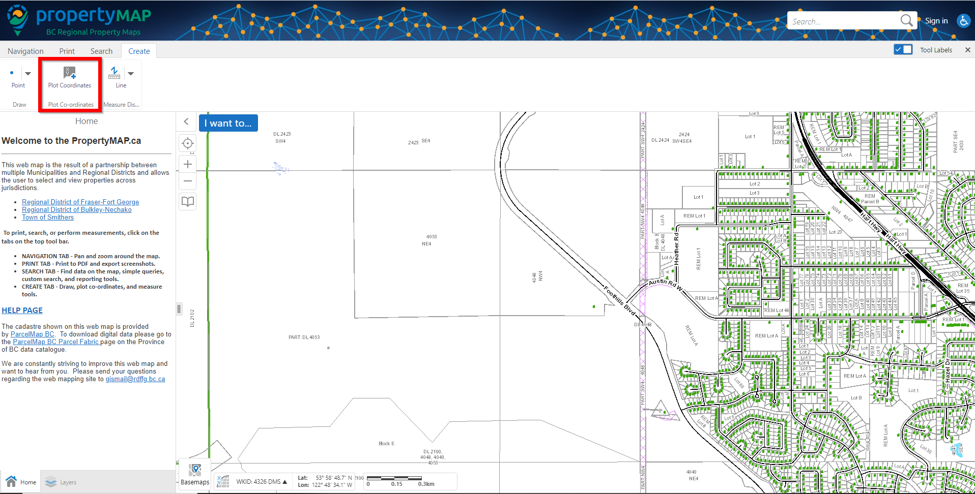
Step 2:
You will see a button titled 'Plot Coordinates'. Click on this button.
Step 3:
Click at a location on the maps you would like coordinates for. You will see the coordinates show in the left hand window, as well as in a pop up dialog.
Optionally, you can turn on `Snapping` to place your coordinate points directly on top of the feature you are retrieving coordinates for.
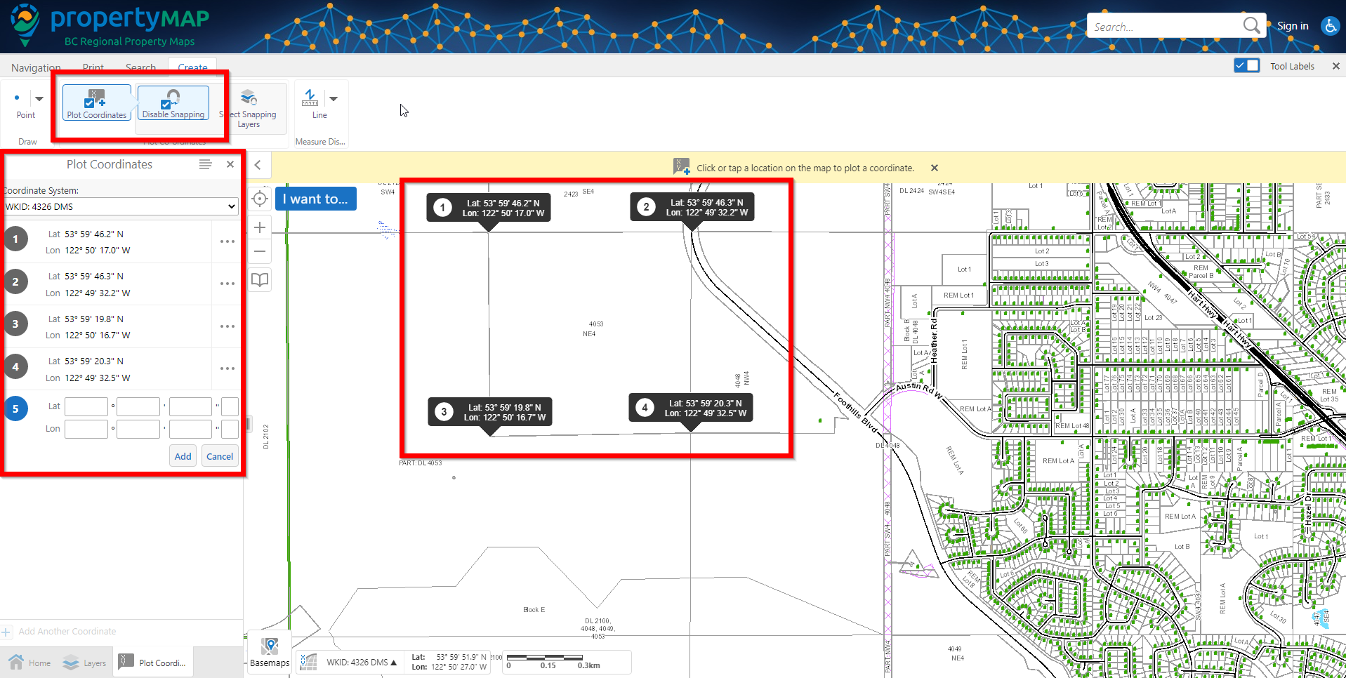
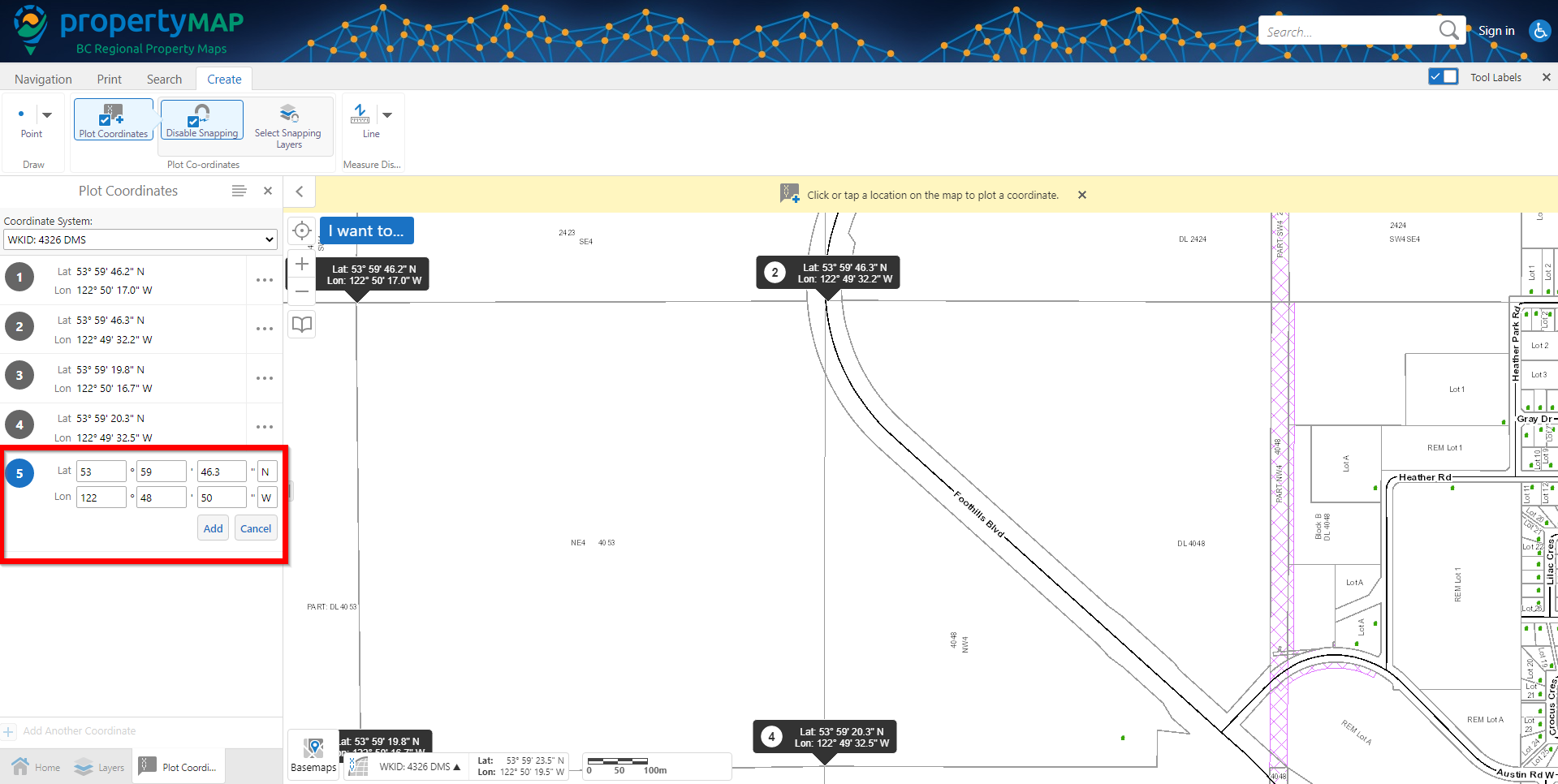
Step 4:
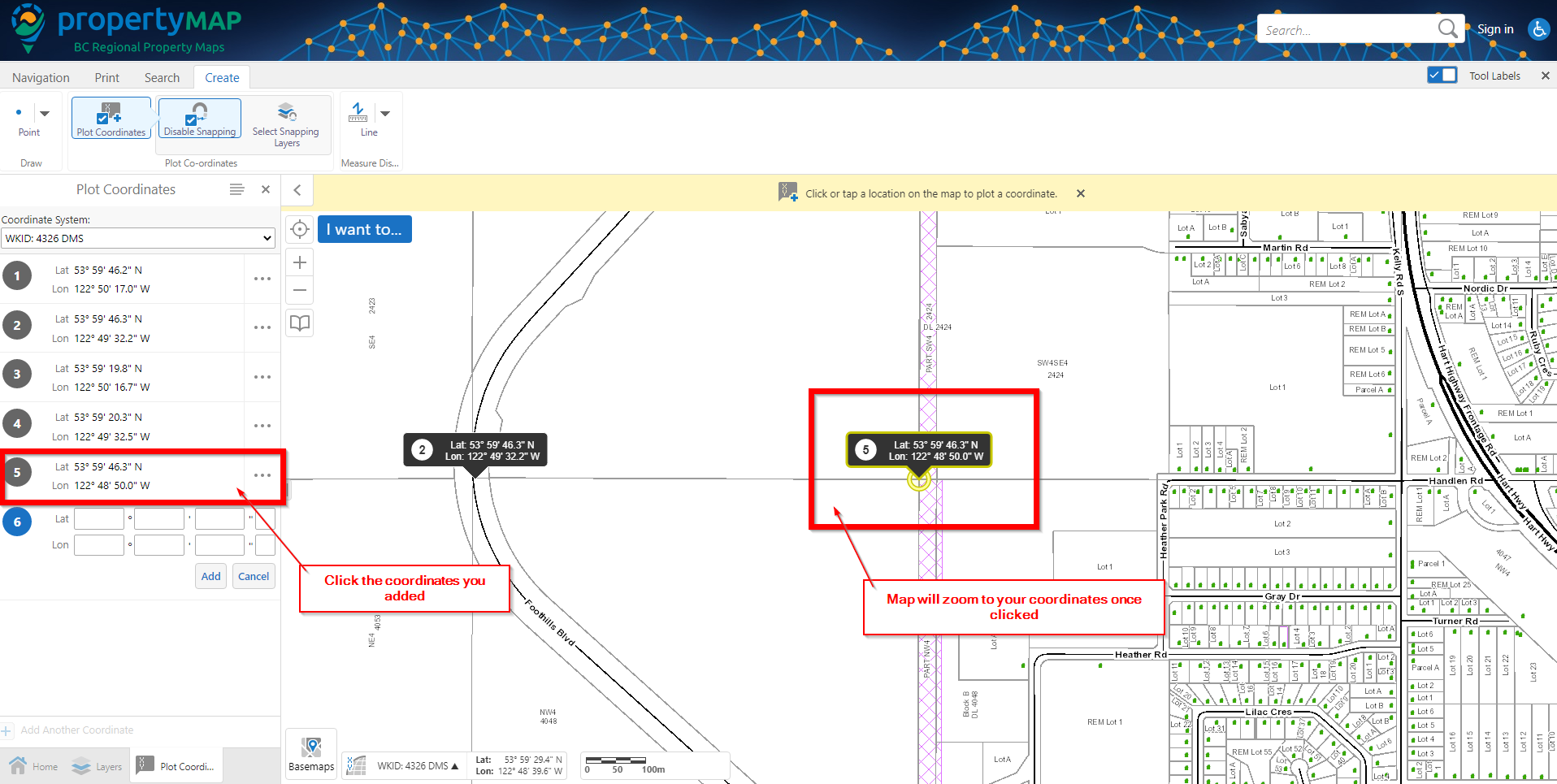
If you have custom coordinates that you would like to plot on the map, you can enter them in within the left hand window, then press 'Add'. To zoom to the coordinates you just added, you can do this by clicking on the coordinates in the left hand window and the map will zoom to the coordinates you plotted.