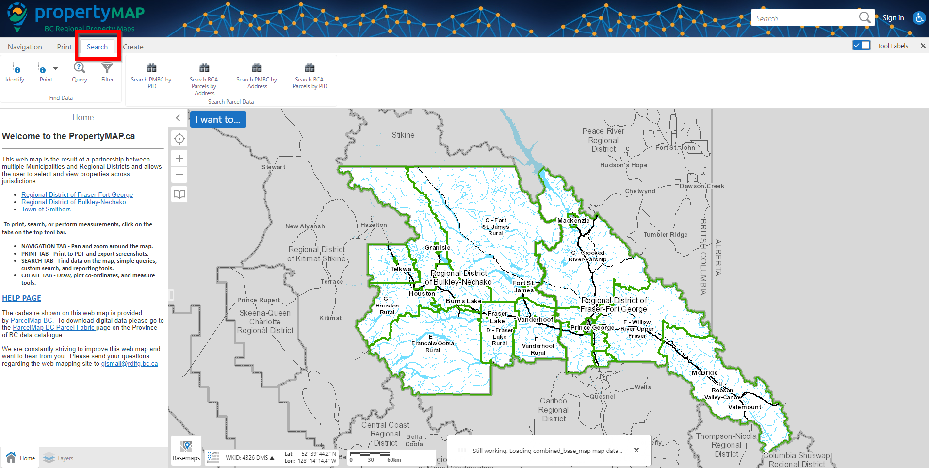
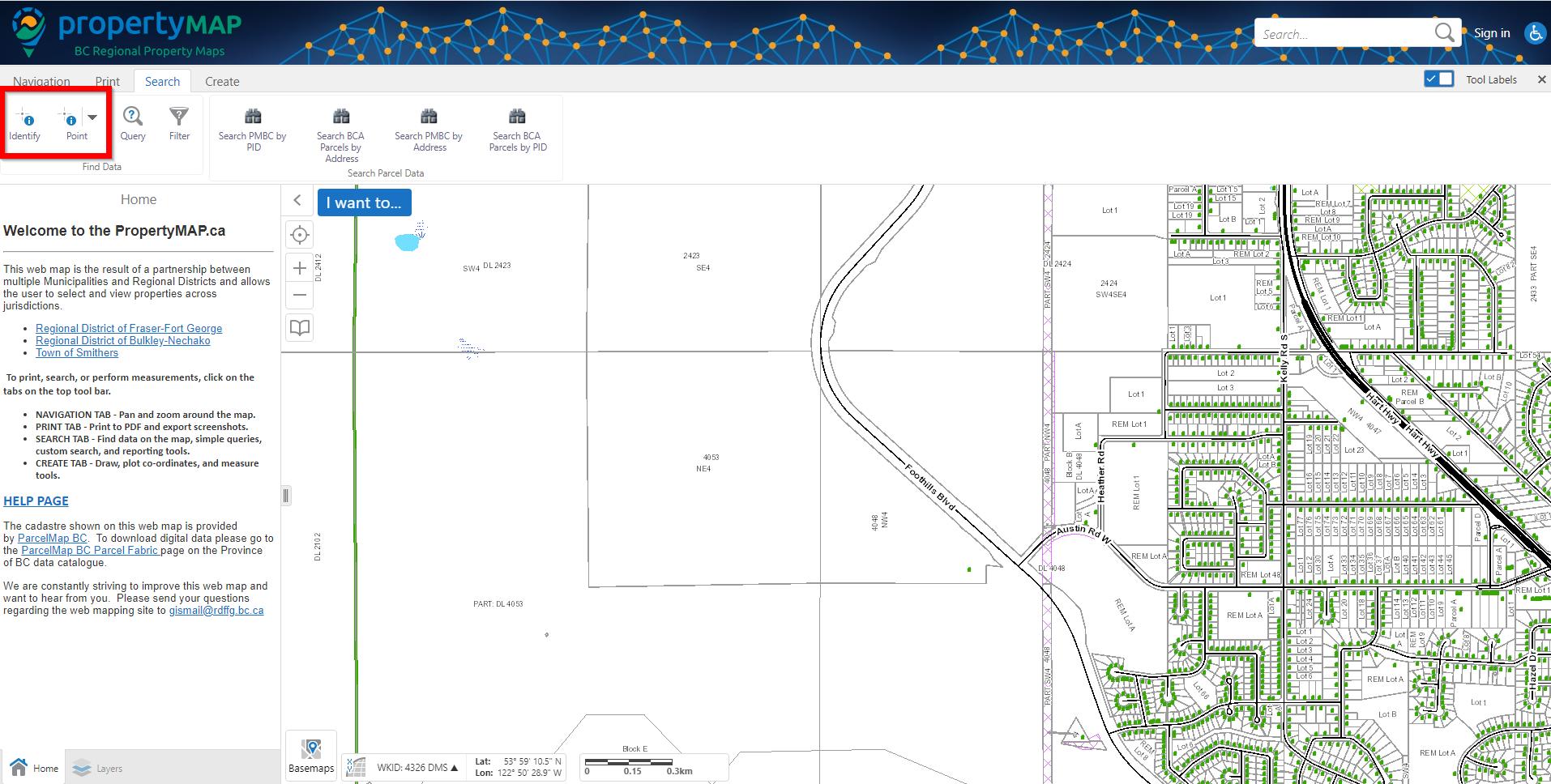
Step 1:
Navigate to the 'Search' tab at the top left hand area of the map.
Step 2:
You will see a button titled 'Identify' and `Point`. For identifying a single feature, click the Identify button, followed by a location on the map. You will now have a single area on the map selected.
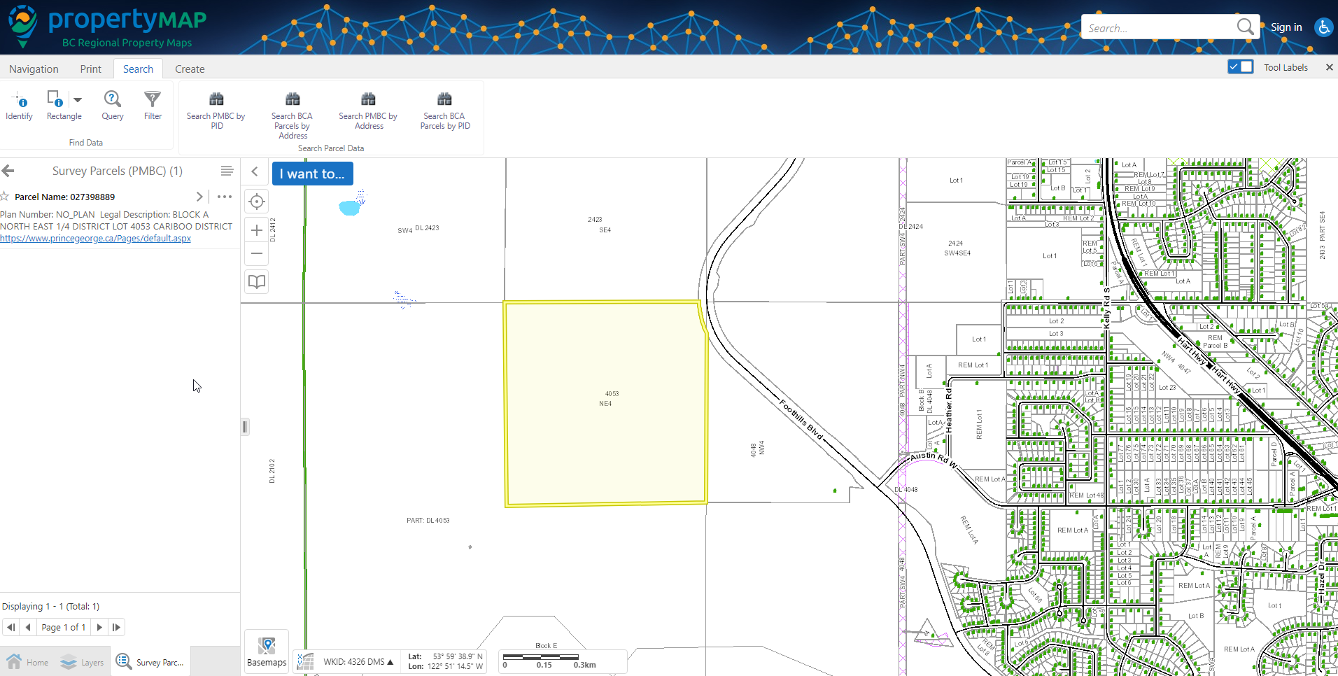
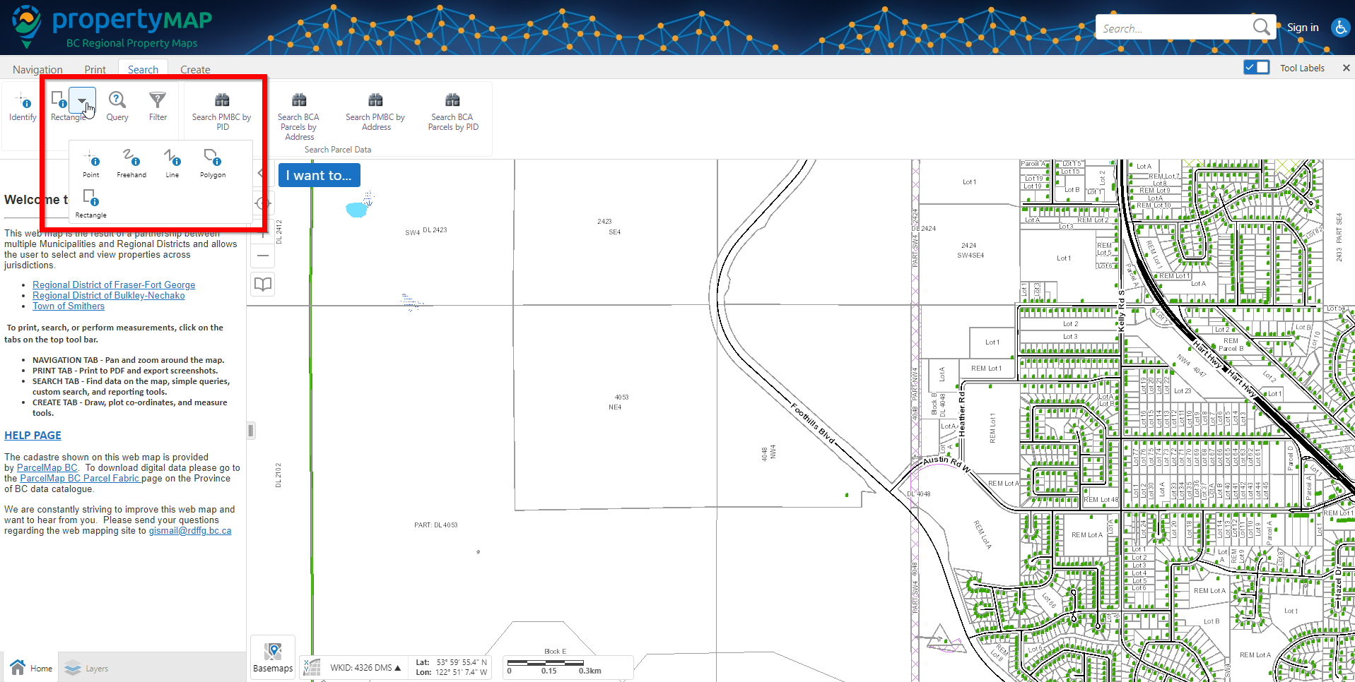
Step 3:
To select multiple layers on the map, click the dropdown arrow beside the `Point` button (right hand side of the identify button), then select the method for selecting layers (rectangle, polygon etc.).
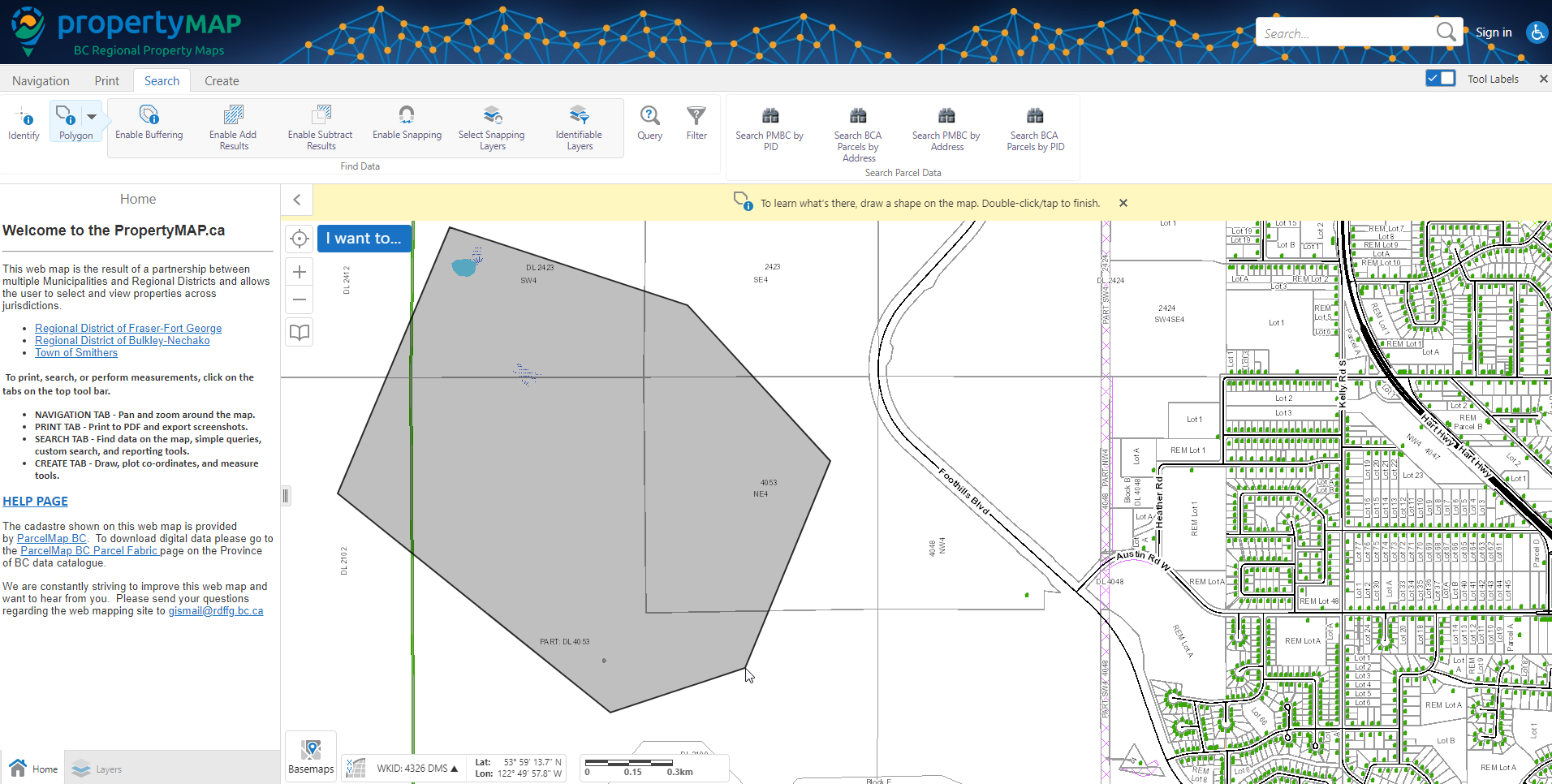
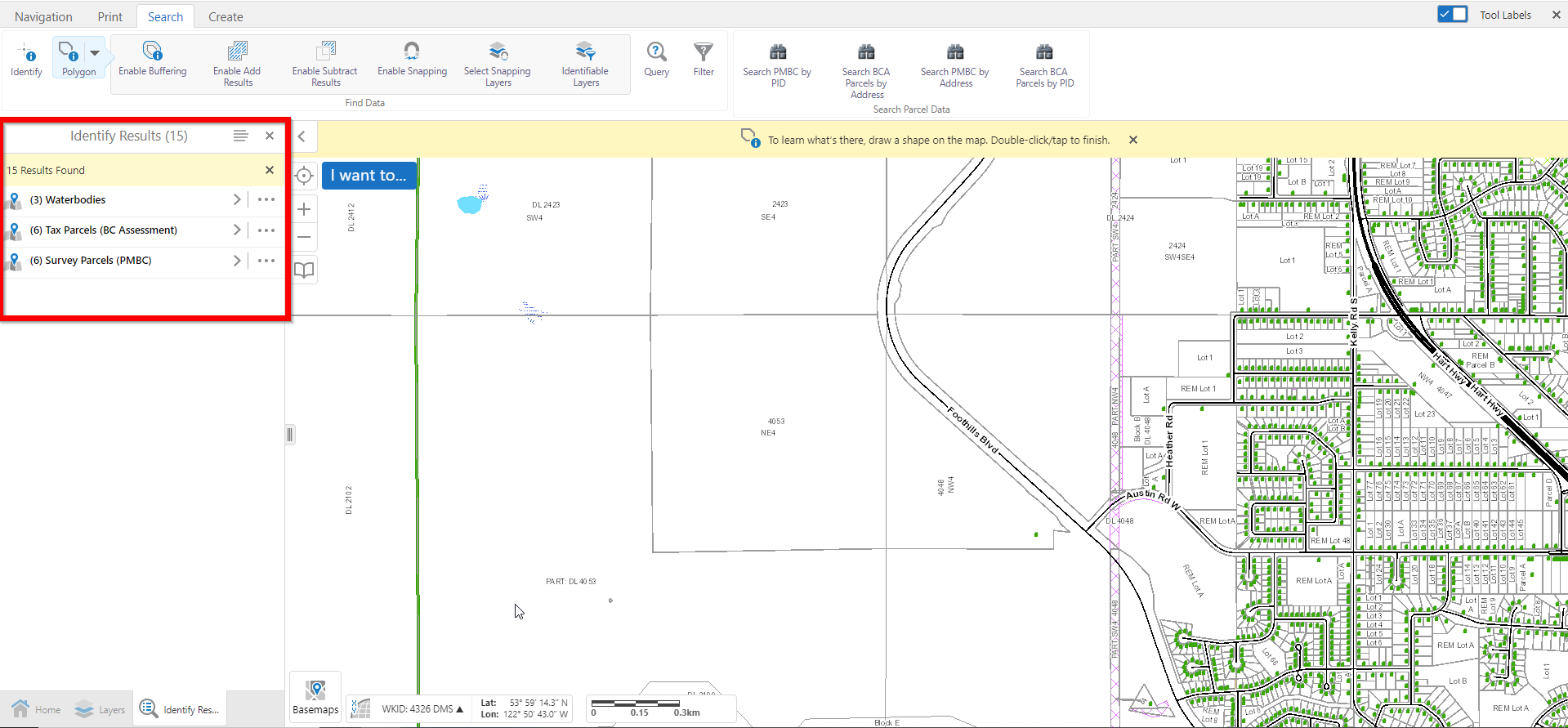
Draw your desired area on the map, then double click to finish. You should now see your selected layers in the left hand window.